
UAV Site Assessments:
Advanced Data for Smarter Decisions

Beyond Ground Level: Achieving Unmatched Accuracy and Safety
Traditional site assessments often face limitations, restricted access, safety risks on steep or unstable terrain, and the high cost of manual data collection over vast areas.
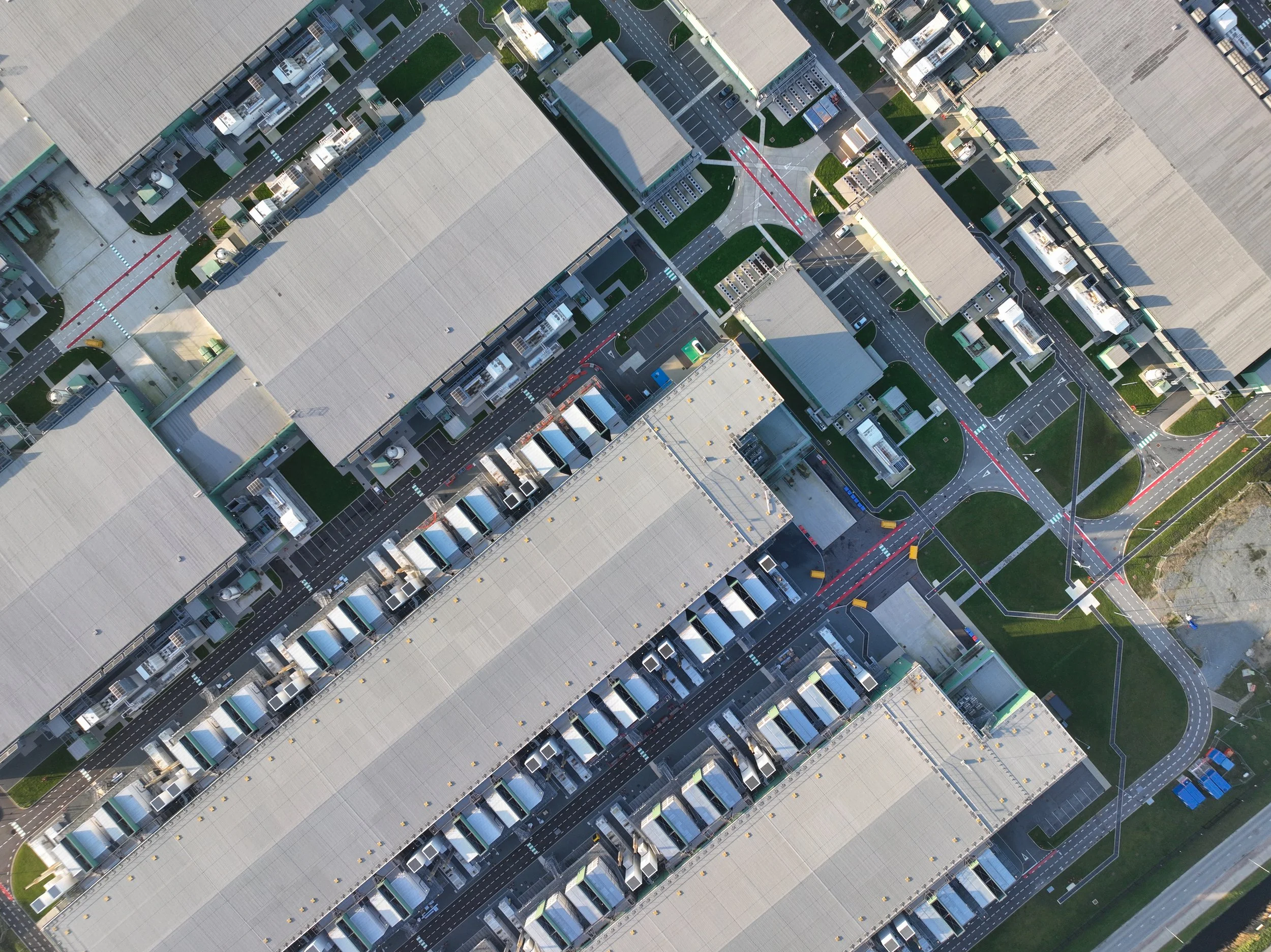
Lincoln Environmental solves these challenges by integrating advanced Unmanned Aerial Vehicle (UAV) technology into our environmental assessments. Our drone surveys deliver highly detailed, geospatial data that is simply impossible to capture efficiently on foot, enabling you to make decisions faster and with greater confidence.
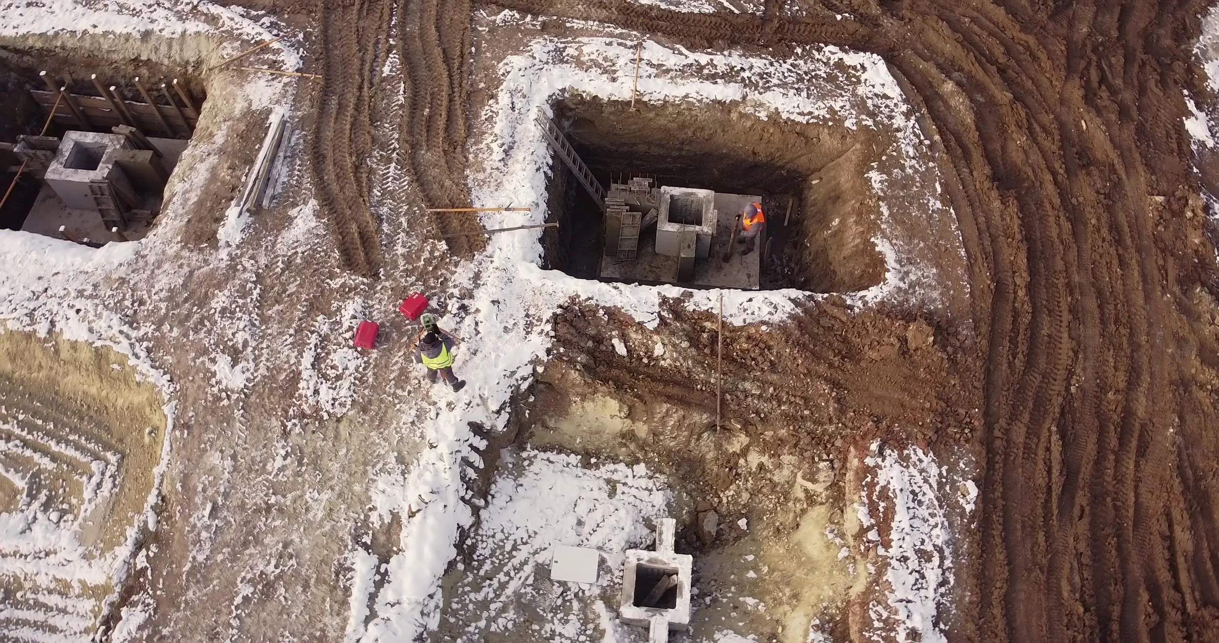
Increased Safety
Eliminates the need to send personnel into hazardous, unstable, or remote areas, dramatically reducing fieldwork risk and liability.
Superior Accuracy
Captures high-resolution imagery, detailed topographic data, and precise 3D models with survey-grade accuracy for reliable planning and engineering.
Unrivaled Efficiency
Collects hundreds of acres of data in hours not days - Significantly compressing project timelines and reducing labor costs.
Comprehensive Documentation
Provides verifiable, 4k time-stamped visual surveillance of site conditions before, during, and after a project for regulatory submission and litigation support within 24 hours of surveying.

When is Drone Assessment the Smartest Choice?
Our UAV services are specifically designed to maximize value and minimize risk for:
Large, Undeveloped Land Parcels
Quickly establishing baseline conditions and topography for feasibility studies and Phase I ESA documentation.
Sites with Complex Terrain
Assessing areas with steep slopes, dense vegetation, or unstable ground where traditional survey methods are impractical or unsafe.
Linear Projects
Efficiently mapping pipelines, roadways, utility corridors, and transmission lines across long distances.
High-Value Data
Enhanced data outputs tailored to specific project needs: Orthomosaic Mapping, 3D Modeling & Topography, Volumetric Analysis, Environmental Monitoring, Construction Progress Tracking.
Landfills and Quarries
Providing consistent, accurate volumetric measurements and monitoring long-term site stability and cap integrity.
Ready to Move Forward with Confidence
Speak directly with a due diligence specialist who understands the unique regulatory landscape of the Mid-Atlantic Region. Contact us today for a free project consultation.